When we discuss Physical geography of India we will get various aspects. In South Asia, India is the largest country in terms of area and population. it’s surrounded by the ocean. India’s strategically located in the Indian Ocean. India has sea routes between Europe and Africa, South- East Asia, Far East Asia, and Oceania. it’s due to this that India shares good trade relations with many countries in past. India features a good location in terms of sea and also well connected by land. These routes along with the land passes aren’t only important for trade but also to exchange ideas and culture. Physiographic distribution is often expressed in the percentage of the total area as follows: 10.6.% Mountains 18.5% Hills 27.7% Plateaus 43.2% Plains. India may be a country of physical diversity. There are high mountain peaks in some areas while in others just like the flat plains formed by rivers. On the idea of physical features, India is often divided into the following six divisions- 1. The Northern mountains 2. The Northern Plains 3. The Peninsular Plateau 4. The Indian Desert 5. The Coastal Plains 6. The Islands.
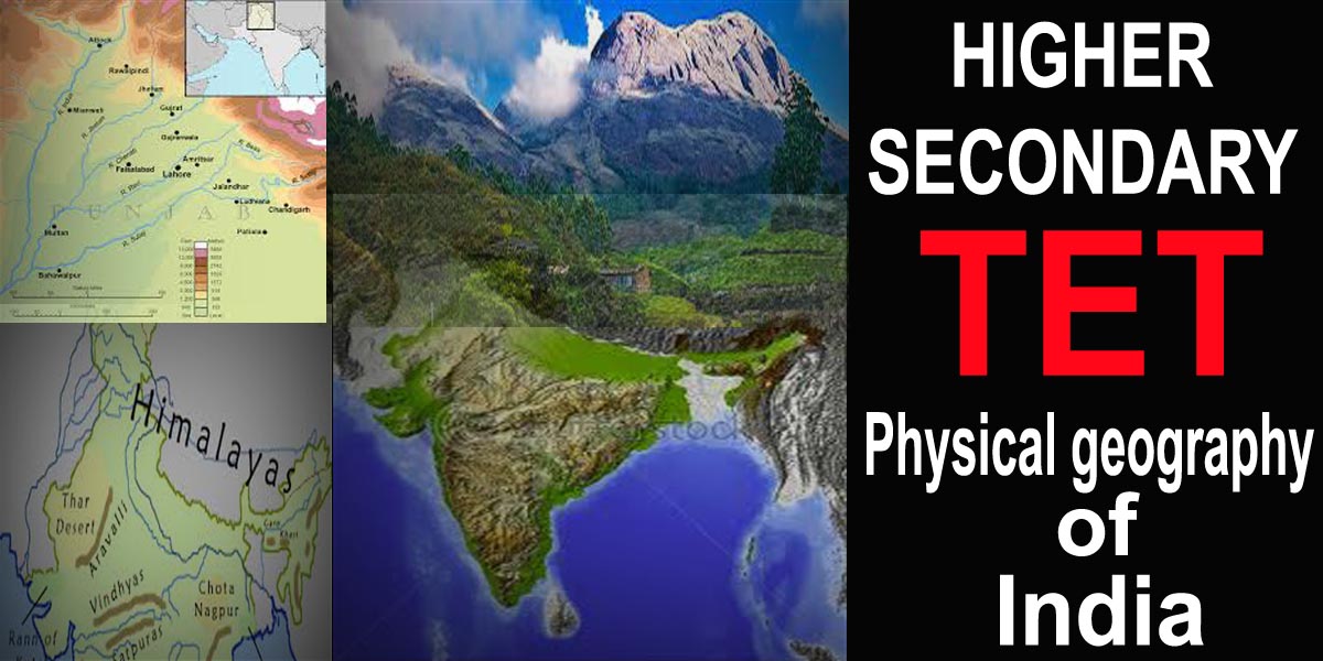
Physical geography of India
আপুনি যদি আমাৰ পেজ পঢ়ি ভাল পাইছে তেন্তে আমাৰ ‘নিউজলেটাৰ চাবস্ক্রাইব’ কৰক। নতুবা আমাৰ ‘ফেচবুক পৃষ্ঠা’ অনুসৰণ কৰক বা আমাৰ “ইউটিউব চেনেল চাবস্ক্রাইব’ কৰক ।
MCQ on Physical geography of India