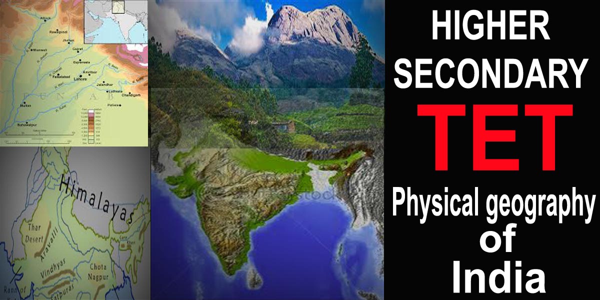
HS TET Question & Answer. India is a country of physical diversity. There are high mountain peaks in some areas while in others like the flat plains formed by rivers. On the basis of physical features, India can be divided into the following six divisions- 1. The Northern mountains 2. The Northern Plains 3. The Peninsular Plateau 4. The Indian Desert 5. The Coastal Plains 6. The Islands.
HS TET Question & Answer
Select the correct Answer
1. For the purpose of coastal regulation, Coastal regulation Zone 2011 notification states that the coastal zone is:
1. 500 m on the landward side from high tide line.
2. 500 m on the landward side from low tide line.
3. 12 nautical miles on the seaward side from the high tide line.
4. 12 nautical miles on the seaward side from the low tide line.
(a) 2 & 4 only.
(b)1 & 3 only.
(c)1 & 4 only.
(d) 2 & 3 only.
Ans: (c)
2. Consider the following statements:
1. A gulf is a large body of sea surrounded by land on three sides.
2. A bay is a large area of sea partially enclosed by land.
3. A lagoon is a shallow lake of salt water separated from sea by offshore islands.
4. Chilka Lake is a lagoon.
(a) 1, 2 & 4 only.
(b) 1, 2, 3 &4.
(c) 3 & 4 only.
(d) 1, 2 & 3 only.
Ans: (c)
3. Which one of the following Indian States has the longest coastline?
(a) Maharashtra
(b) Karnataka
(c)Tamil Nadu
(d)Andhra Pradesh
Ans: (d)
4. In India, the problem of soil erosion is associated with-
1. Excessive rainfall
2. Deforestation
3. Excessive Cultivation
4. Overgrazing
Codes:
(a) 1 and 2 are correct
(b) 1,2 and 3 are correct
(c) 2, 3 and 4 are correct
(d) 2 and 4 are correct
Ans: (d)
5. Match List-I with List-II and select the correct answer using the codes given below-
| List-I (Lake) | List-II (District) |
| (A) Nakki Talab | 1. Jaisalmer |
| (B) Sambhar | 2. Udaipur |
| (C) Pichola | 3. Sirohi |
| (D) Gadsisar | 4. Jaipur |
Codes
(a) (A)1 (B) 2 (C) 3 (D)4
(b) (A)2 (B) 3 (C) 4 (D)1
(c) (A)3 (B) 4 (C) 1 (D)2
(d) (A)3 (B) 4 (C)2 (D)1
Ans: (d)
6. A landmass bounded by sea on three sides is referred to as-
(a) Coast
(b) Peninsula
(c) Island
(d) None of the above
Ans: (b)
7. Mountain ranges in the eastern part of India forming its boundary with Myanmar are collectively called as-
(a) Himachal
(b) Utarakhand
(c) Purvachal
(d) None of the above
Ans: (c)
8. The western coastal strip, south of Goa is referred to as
(a) Coromandel
(b) Kannad
(c) Konkan
(d) Northern Circar
Ans: (c)
9. The highest peak in the Eastern Ghats is
(a) Mahendragiri
(b) Anai Mudi
(c) Khasi
(d)Kanchenjungaa
Ans: (a)
10. Which plateau lies between the Aravali and the Vindhyan ranges?
(a) The Malwa plateau
(b) Chotanagpur Plateau
(c) Deccan Plateau
(d) Central Highlands
Ans: (a)